Big Bend National Park
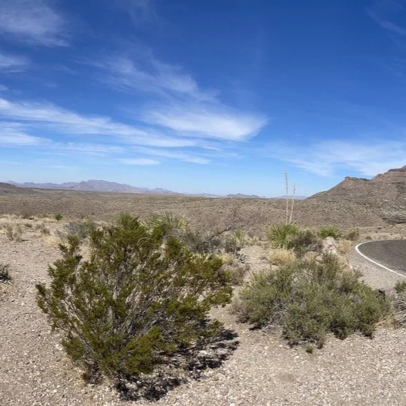
View from the Lost Mine Trail
“A river cuts through a rock not because of its power, but because of its persistence.”
When we drove into Big Bend National Park for the first time, it was like stepping into another world. It is full to bursting with unique desert landscapes and stranger than fiction flora and fauna. Which to us Tennesseans, who are used to being able to throw a stone and hit about five trees from just about anywhere, was one of the closest experiences to being on another planet that we’ve ever had!
Big Bend National Park is a massive park!! It is located in the South West corner of Texas, bordering Mexico for 118 miles. When we set out to plan this trip, we had no idea just how long it would take to get around the park each day. We came with a plan, but each day we had to revise it. Below we share some of our favorite stops that we came across while exploring in and around Big Bend National Park.
Panther Junction Visitor Center
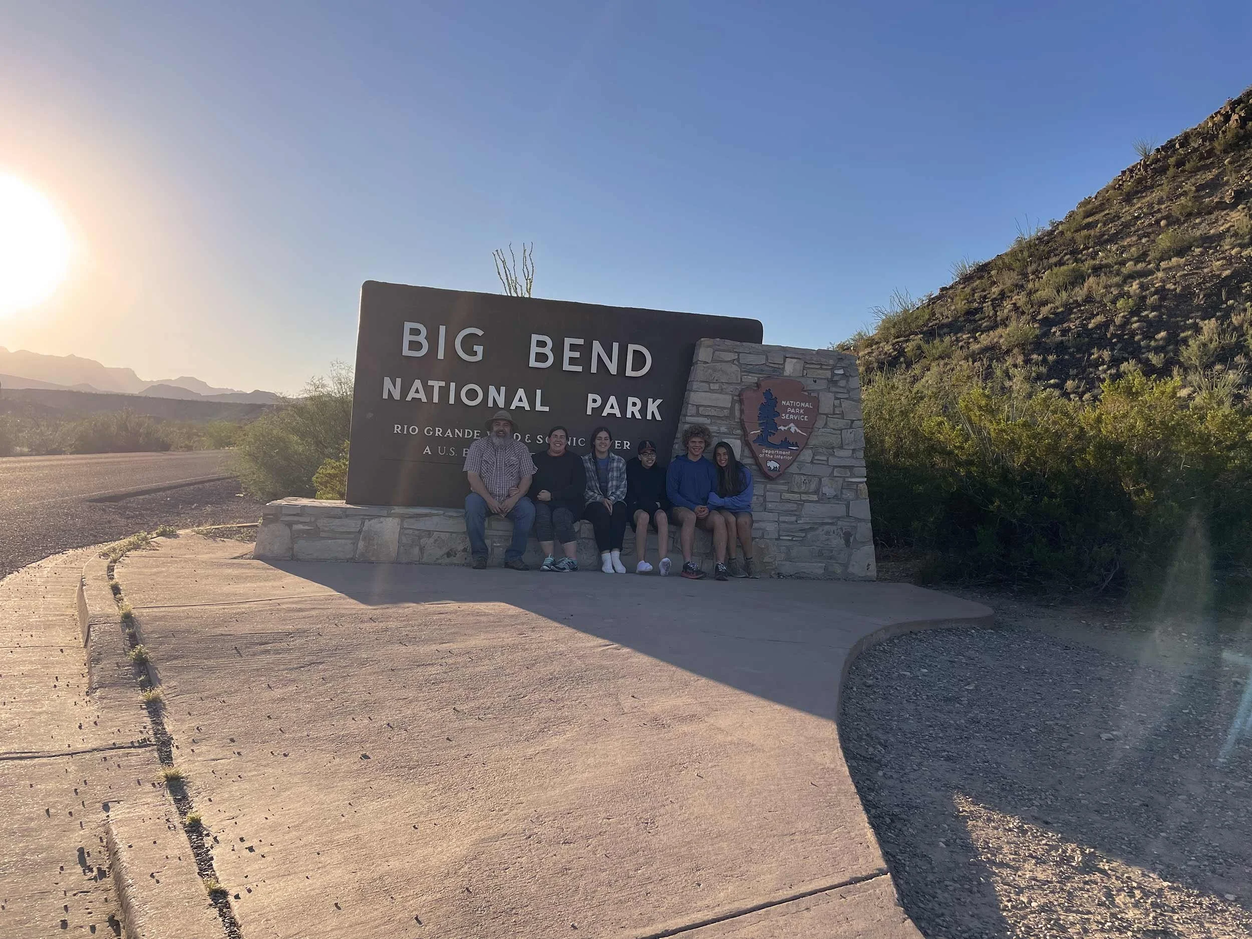
Our first stop at most parks, after the mom-approved park sign photo, is usually the visitor center. We took some time to look around at the exhibits, watch the orientation video, peruse the gift shop, talk to the park rangers about our plans for the week, and hike the Panther Path.
Lone Mountain Trail
Difficulty: Easy / Distance: 2.7 Mile Loop
The trailhead was located about 1 mile north of Panther Junction. The road was a bit rough for our camper van, but we just took it slow and arrived with everything still intact. This trail loops around what is left of an ancient volcanic intrusion, Lone Mountain. The trail is fairly easy and mostly level. It is pretty exposed, so definitely bring water and wear a hat.
Hot Springs Trail
Difficulty: Easy / Distance: 1 mile
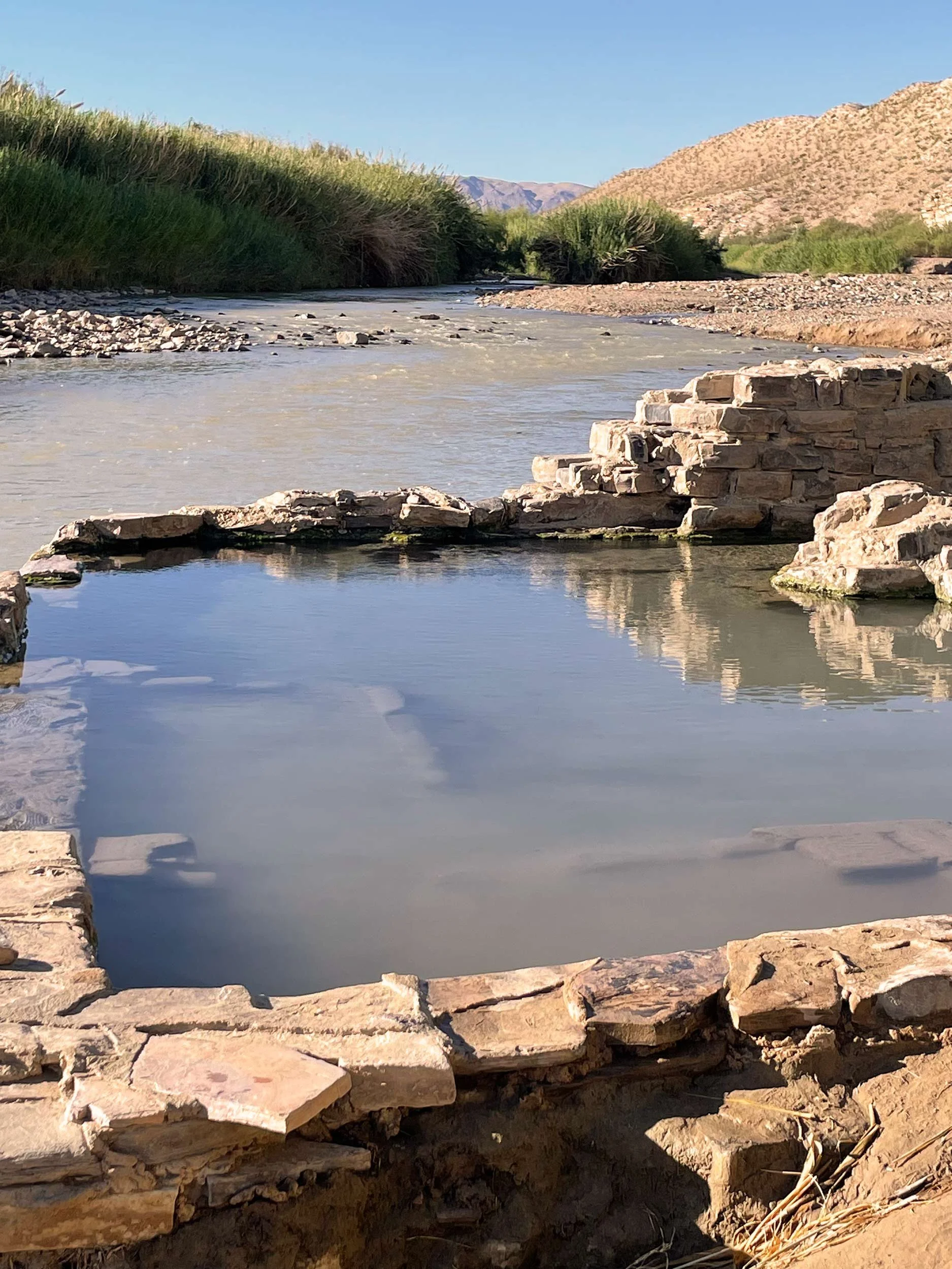
This stop was one of the highlights of our trip. Our trek to the Hot Springs was a bit longer than most. Our camper van was to big to make it all the way to the trailhead parking lot. We had to park a bit further away and walk the one way section of the road. The short trail passes the remains of a resort (that closed around 1952), pictographs, Charles Livingston’s homestead (near the parking lot), and the stone foundation of J.O. Langford’s bathhouse. We all thoroughly enjoyed soaking in the hot spring while taking in the scenery of the Rio Grande.
Boquillas Canyon Overlook
From the Boquillas Overlook you can see the village of Boquillas del Carmen, Mexico just across the Rio Grande. This is also a great place to photograph Boquillas Canyon. We found a collection of handmade crafts at the overlook. They are left by residents of the nearby Mexican village. The national park strongly encourages you not to purchase any of the crafts, because it encourages illegal border crossings.
Boquillas Canyon Trail
Difficulty: Easy-Moderate / Distance: 1.6 miles
This hike takes you through one of the three main canyons in Big Bend National Park. After a short uphill hike from the parking lot, you will descend into the canyon along the Rio Grande. Most of the walk is a flat, sandy, stroll along the river. Eventually you come to a point where you can go no further. Here we took our shoes off and put our feet in the cool water. After relaxing and playing in the water, we turned around and headed back the way we came.
Lost Mine Trail
Difficulty: Moderate / Distance: 4.8 miles
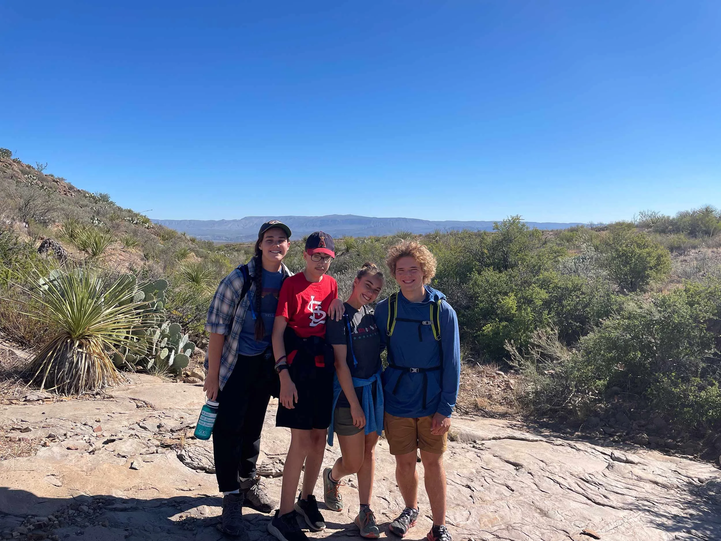
The Lost Mine Trail offers stunning views of the surrounding Chisos Mountains. In researching for our trip we learned that the parking lot for this trail is small, so we should arrive early. We arrived at 7:45am, by 8:00am the parking lot was full. As we crested the top of the Lost Mine Trail, it was easy to see why this is one of the most popular hikes in the park. The views from the top were spectacular.
Ross Maxwell Scenic Drive
The thirty-mile Ross Maxwell Scenic Drive winds through some of the most beautiful landscapes in Big Bend National Park, ending at the Castolon Historic District and Santa Elena Canyon. You could never leave your car, and have an amazing time. But if you want to stop along the way and stretch your legs…we would suggest the Sotol Vista Overlook and the Santa Elena Trail.
Santa Elena Trail
Difficulty: /Distance: 1.6 miles
This trail ranked up there in our top stops of the week. The journey starts out by crossing the Terlingua Creek, and scrambling up the bank to find the trail. This was the most confusing part of the hike…we had a hard time finding a good place to cross the creek! After climbing a series of concrete steps, the trail gradually slopes to the rivers edge.
Sotol Vista Overlook
One of our favorite stops along the Ross Maxwell Scenic Drive was the Sotol Vista Overlook. You are rewarded with an expansive view of the entire western side of Big Bend National Park. The camera doesn’t do this view justice. You will just have to go and see it for yourself!!
THINGS TO DO NEAR BIG BEND NATIONAL PARK
Terlingua Ghost Town
In the late 1880s Terlingua, Texas came to life when Cinnabar was discovered in the Chisos Mountain Range. After four decades of mining, the Chisos Mining Company went bankrupt, and Terlingua slowly became a ghost town. Today, Terlingua hosts a famous Chili Cook-Off that has helped put it back on the map.
Big Bend Ranch State Park
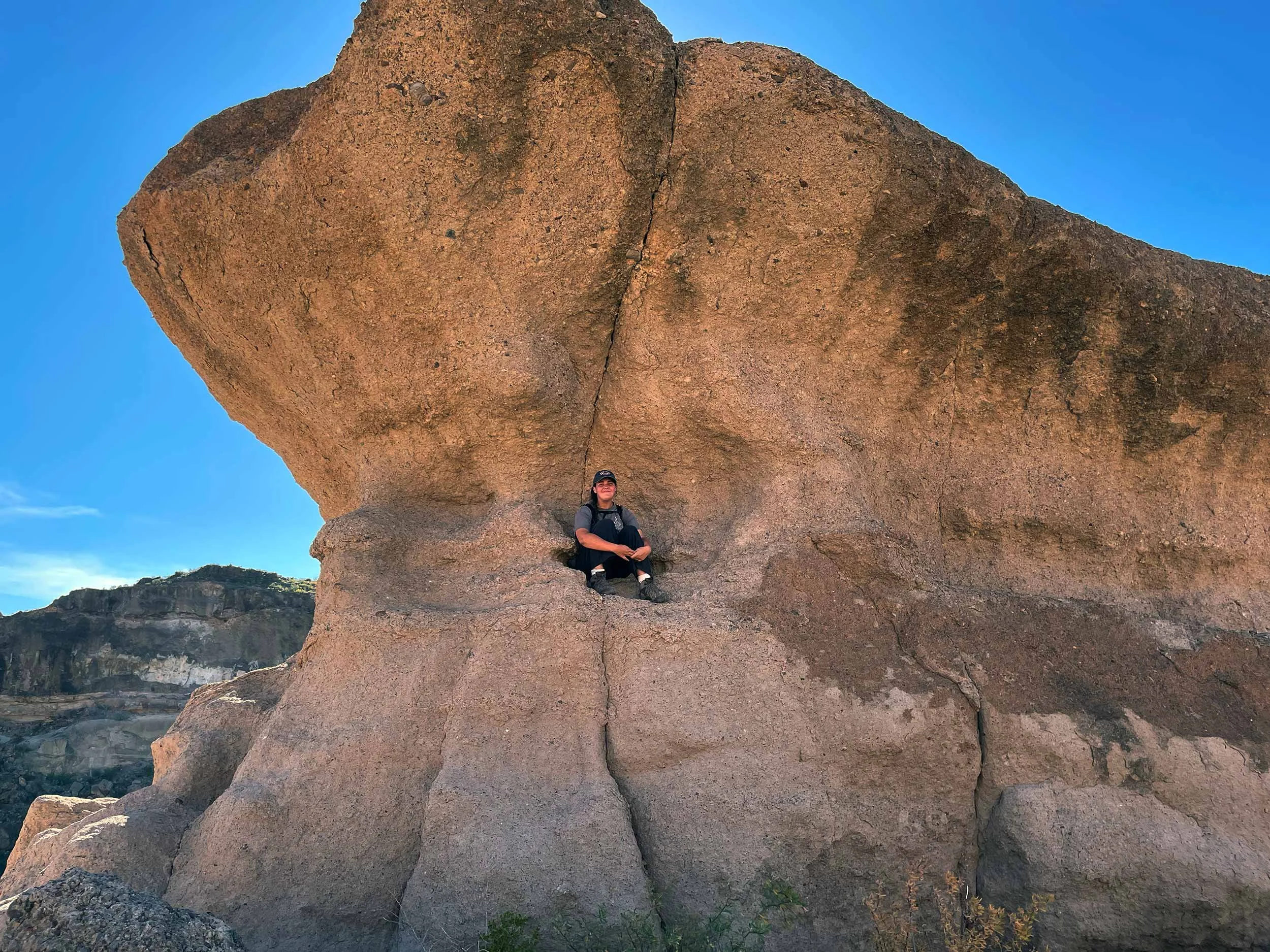
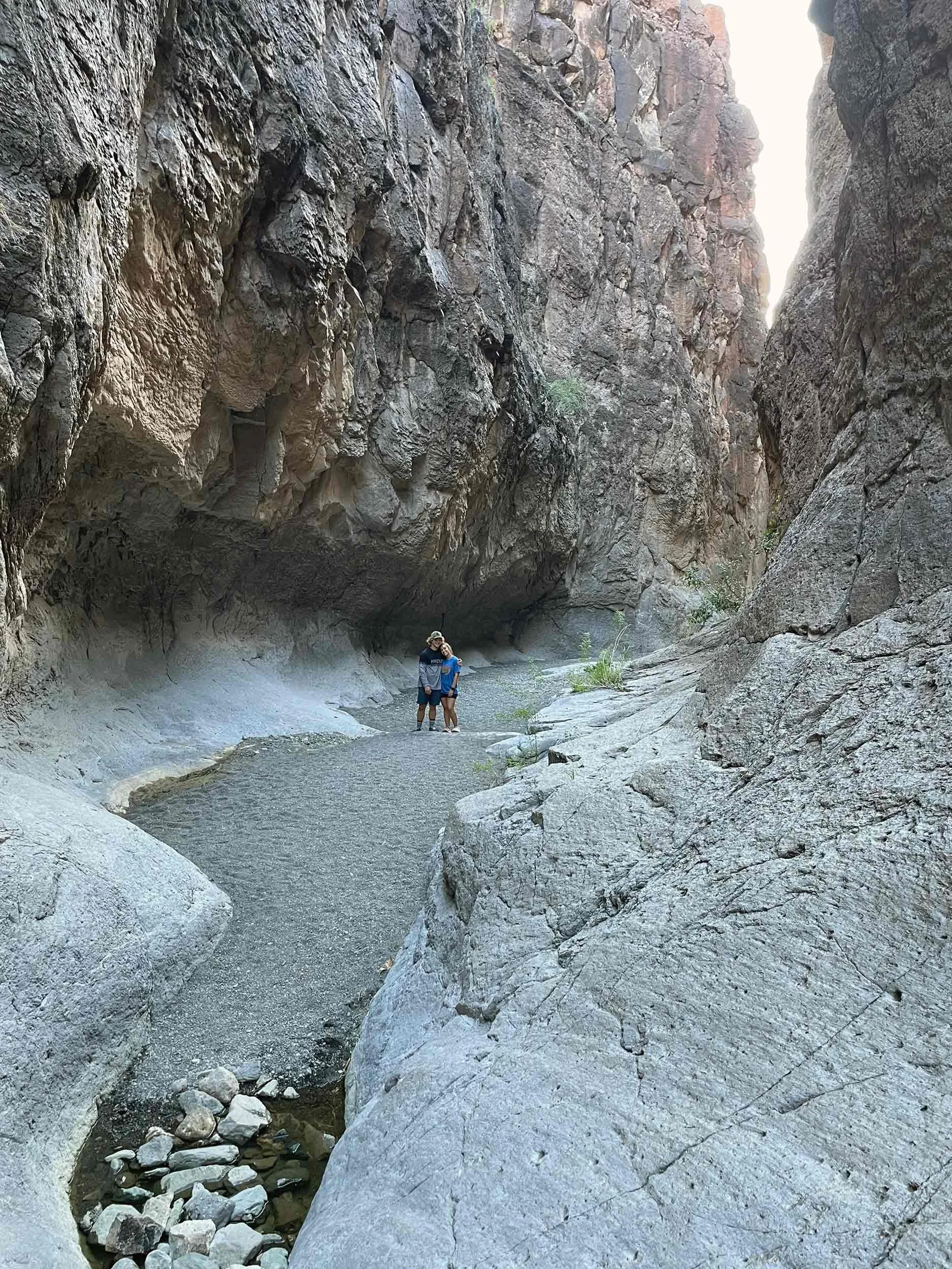
Located just northwest of Big Bend National Park is Big Bend Ranch State Park. With short hiking trails, slot canyons, and another gorgeous scenic drive, this is worth at least a few hours of your time. We spent an afternoon here hiking the Hoodoos Trail and the Closed Canyon Trail.
Hoodoos Trail
Closed Canyon Trail
If you have any questions about the best things to do in Big Bend National Park, let us know in the comment section below! If you have time while you are in the area, you should definitely check out Carlsbad Caverns National Park.


